NSW Overview report.
This report identifies and explains key trends in the spatial and temporal patterns of gross rural land ownership change in NSW between January 2004 and January 2020. It also provides an overview of the project’s data-base construction method and analysis techniques. The report discusses key ownership trends across 10 planning regions and 96 non-metropolitan LGAs and makes recommendations for future research in this area. Click here for the report.
Central West transect report
This report takes a close look at what’s been happening in the NSW Central West. It examines substantial rates of rural land ownership change January 2004 and January 2020 for eight LGAs in the region: Bathurst Regional, Cabonne, Blayney, Cowra, Weddin, Forbes, Parkes and Lachlan. It shows that the rate of rural land ownership change in this area has been slightly slower than the state average, but this is changing. A range of different drivers are behind these trends, which are discussed. Click here for the report.
Hunter transect report
This report takes a close look at what’s been happening in the NSW Hunter region. It examines substantial rates of rural land ownership change January 2004 and January 2020 for seven LGAs in the region: Warrumbungle, Liverpool Plains, Upper Hunter, Muswellbrook, singleton, Dungog and Mid-Coast. It shows that the rate of rural land ownership change in this area has been slightly higher than the state average, but this is changing. A range of different drivers are behind these trends, which are discussed. Click here for the report.
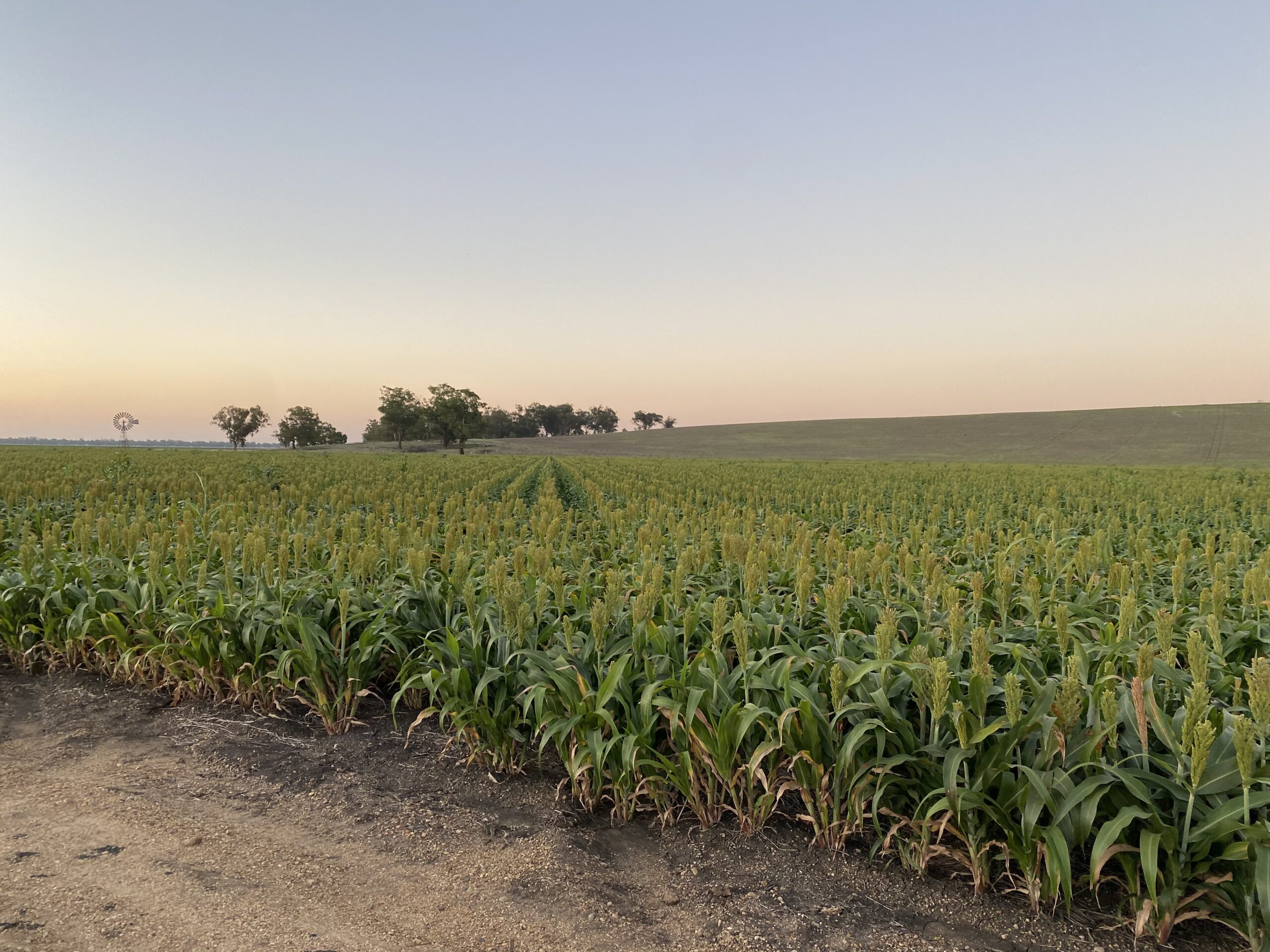
Riverina transect report
This report takes a close look at what’s been happening in the NSW Riverina region. It examines substantial rates of rural land ownership change January 2004 and January 2020 for seven LGAs in the region: Wentworth, Balranald, Hay, Murray River, Edward River, Murrumbidgee, Berrigan, and Federation. It shows that the rate of rural land ownership change in this area has been slightly lower than the state average, and addresses issues relating to agricultural change in this region. A range of different drivers are behind these trends, which are discussed. Click here for the report.
Northern transect report
This report takes a close look at what’s been happening in the northern part of NSW, from Moree to Tweed Heads and south to Coffs Harbour. It examines substantial rates of rural land ownership change January 2004 and January 2020 for thirteen LGAs: Moree Plains, Gwydir, Inverell, Glen Innes Severn, Tenterfield, Kyogle, Tweed, Byron, Ballina, Lismore, Richmond Valley, Clarence Valley, and Coffs Harbour. It shows that the rate of rural land ownership change in this area has been higher than the state average, and addresses issues relating to agricultural and rural residential change in this region. A range of different drivers are behind these trends, which are discussed. Click here for the report.
Substantive Ownership Churn Rates by LGA (January 2004 – January 2020) dataset.
This dataset presents an LGA-level summary of substantive annual churn rates for the period January 2004 – January 2020. It measures the proportion of rural land in each of 96 LGAs that changed ownership for each year of the study period. However, it excludes instances in which the name(s) of the new owner and the previous owner on a land title have a similarity score of >70%. The purpose of removing these instances is to remove on-paper ownership changes which are the result of corrections, name updates (e.g. as a result of marriage) and instances where an owner is removed from a multi-owner title. This is an innovative approach to measure ownership change and presents a more targeted representation of substantive ownership change than gross churn rates. Click here to access this dataset.